A wave of unseasonably warm air from the Sahara is set to push across Europe in the coming days, bringing near-summer temperatures to parts of Germany and France.
Meteorologists describe the event as an “upper-air warmth anomaly”, where air masses from North Africa travel far northward under high-pressure conditions. This setup will lead to temperatures up to 25°C in southern France and up to 21°C in Germany, levels usually seen in early summer, not mid-November.
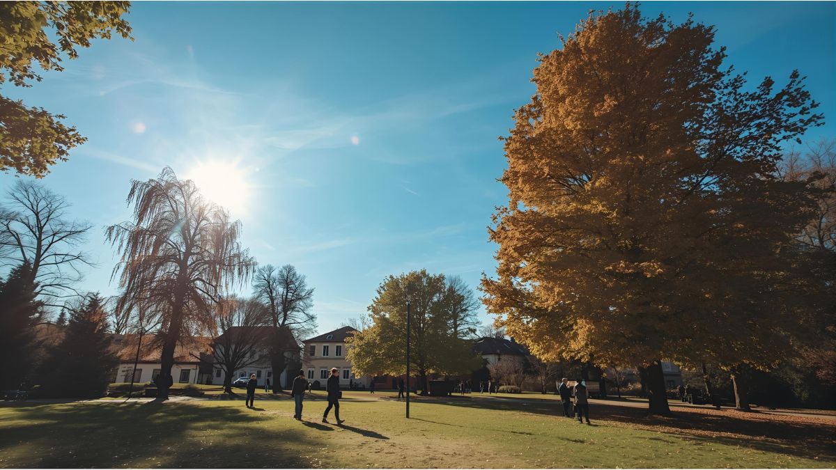
Europe experiences one of its mildest Novembers in years
The combination of high pressure, sunshine, and warm upper air layers will cause temperatures to soar well above the seasonal average. Normally, mid-November temperatures in southern France hover around 13–15°C, but this week will feel more like June.
According to meteorologist Dominik Jung (wetter.net), this event marks one of the mildest November periods in recent years, with the warmth spreading gradually across central Europe.
Germany to benefit from the warm phase
While France will see the peak of the heat, Germany will also experience unusually high temperatures for the season. On Wednesday, regions in the south, west, and southwest may reach 18–21°C, with some sheltered valleys even slightly higher.
In areas with persistent fog or low clouds, however, the warm air will struggle to penetrate, keeping daytime highs noticeably cooler.
Still, for mid-November, these figures are remarkably high — and many parts of the country will feel more like late summer than autumn. Even at night, temperatures will remain mild as the warm air aloft prevents significant cooling.
Dry weather adds to the unusual pattern
At the same time, the weather remains largely dry nationwide, with no rain expected until the weekend. This is atypical for November, which is usually one of Germany’s wettest months.
A persistent high-pressure system is blocking low-pressure zones and storm systems, resulting in long dry spells and sunny intervals, especially in southern regions.
The lack of rainfall, however, continues the ongoing drought trend in several federal states — a concern for agriculture and groundwater levels.
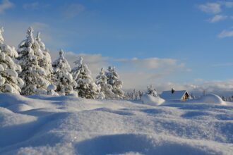
Weather outlook: no winter in sight yet
According to wetter.net, the stable pattern could begin to weaken early next week, allowing for a more changeable and slightly cooler phase. Still, a sudden winter onset remains highly unlikely for now.
Until then, large parts of the country can enjoy what meteorologists are calling a “November summer” — a rare and welcome spell of warmth before winter sets in.