After a golden stretch of early autumn weather, Germany is bracing for an abrupt shift.
Meteorologists warn that from Wednesday, October 1, nighttime frost and even isolated snow showers are possible in parts of the country. The sudden drop has already earned the nickname “Schocktober.”
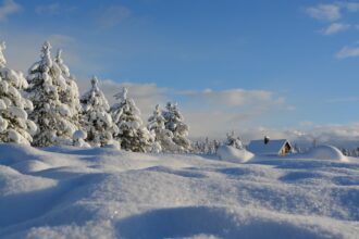
Winter arrives early in the Alps
In Switzerland, the change has already been dramatic. On the Gotthard Pass, thick flakes fell overnight, covering the roads in snow.
Videos shared by MeteoSchweiz showed winter maintenance crews working to keep traffic flowing. In the canton of Valais and around Zermatt, around 20 centimeters of new snow was reported above 2,000 meters.
The early winter blast forced the closure of four Alpine passes overnight: Sustenpass (2,234 m), Gotthardpass (2,108 m), Grimselpass (2,164 m), and Nufenenpass (2,478 m).
Stable weather before the cold hits
For Germany, the good news is that the next few days will remain relatively calm.
According to weather expert Dominik Jung (wetter.net), a stable high-pressure system will bring mostly dry conditions with daytime highs of 15 to 19 degrees Celsius.
Fog and haze may appear in the mornings, but afternoons should still see sunshine through Monday and Tuesday.
Frost warning from midweek
The situation changes sharply by midweek. From Wednesday night, widespread ground frost is expected across many regions.
Temperatures will plunge to between 0 and 9 degrees, posing risks to garden plants and balcony flowers.
Jung recommends bringing sensitive plants indoors to prevent frost damage.
Meteorologist Karsten Brandt (Donnerwetter.de) adds that frost is expected not just in the Alps but also in the central uplands, Berlin, Brandenburg, and around Hamburg.
Daytime temperatures will also drop, with cool easterly winds bringing occasional rain showers from Wednesday onward.
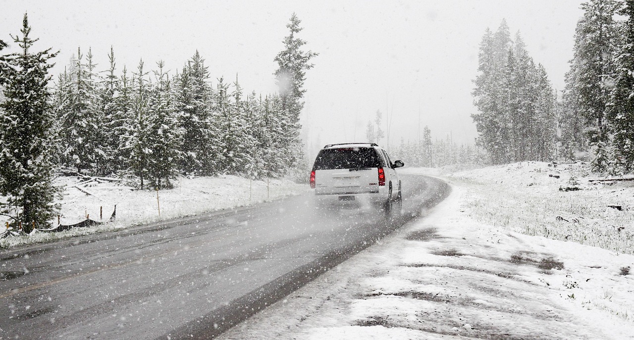
First snowflakes possible in Bavaria
The most surprising forecast: even Bavaria may see early snow. Weather models suggest that a system moving in from Austria could bring the first snowflakes to the Bavarian Forest, the Passau region, and the southern Alps on the night leading into the public holiday.
The German Weather Service (DWD) forecasts that Monday will still be “mostly bright with sunny intervals” at 15–19 degrees, but by Wednesday night, Alpine peaks could see snow and eastern uplands may drop to –3 degrees.