After a stretch of golden autumn days, meteorologists are warning of a dramatic weather change: a “bomb cyclone” forming over the Atlantic near the British Isles is expected to impact Germany this weekend, bringing hurricane-force gusts in some regions.
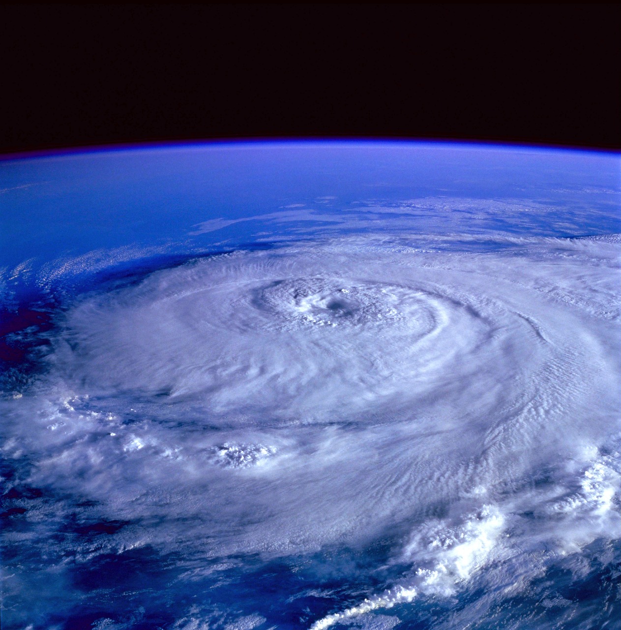
What is a bomb cyclone?
A bomb cyclone occurs when the pressure in the center of a low-pressure system drops by at least 24 hectopascals within 24 hours — a process known as bombogenesis. This rapid intensification produces extremely strong winds and dangerous weather patterns.
According to meteorologist Dominik Jung, the system forming later this week will be fueled by ex-hurricane Humberto, which injects additional energy into the storm, accelerating its development. Forecast models show the storm’s central pressure falling by 36 hectopascals in just one day, reaching around 951 hPa near Ireland on Friday.
Expected impacts in Germany
- Harz mountains (Brocken): wind speeds up to 120 km/h
- North Sea and Baltic coasts: up to 100 km/h gusts
- Northern lowlands (Hamburg, Hanover regions): around 80 km/h gusts
Central uplands: risk of heavy rain, up to 30 liters per square meter in 24 hours
The German Weather Service (DWD) has issued warnings for Saturday, highlighting the potential for severe storm gusts across large parts of the country. Strong winds may continue into Sunday before the system weakens.
After the storm: return of warm weather?
Despite the stormy weekend, forecasters suggest that temperatures could rebound quickly. By Monday and Tuesday, highs of 20 to 22 degrees Celsius are possible in parts of Germany, restoring a taste of golden October weather after the turbulent interruption.
Safety advice for residents
Authorities recommend that residents take precautions:
- Secure garden furniture, loose objects and construction materials.
- Avoid parking under large trees or unstable structures.
- Delay travel plans in regions where gusts may reach hurricane strength.
- Hikers should avoid forests and mountain trails during peak storm hours.