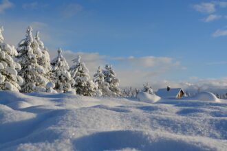
Winter has arrived earlier than many expected, turning large parts of Germany white just weeks before the start of Advent. After a frosty beginning to the week, the first snowflakes fell across several regions, coating mountains, forests and uplands in a light but noticeable layer of fresh snow. Meteorologists from the German Weather Service (DWD) reported that multiple areas saw the first measurable snowfall of the season.
Hesse’s highlands wake up to early snow
In Hesse, higher elevations such as the Feldberg near Schmitten and the Wasserkuppe offered unmistakable signs of winter. According to DWD forecasters in Offenbach, both peaks appeared “lightly dusted,” with a thin cover of snow confirming the seasonal shift.
The cold air mass also extended into Bavaria, where the start of the week brought significant snowfall not only to the Alps but to the Bavarian Forest and Alpine foothills. Around Kempten in the Allgäu, snow fell steadily throughout Monday. DWD estimates suggest that in upland areas south of Munich — above roughly 800 metres — up to five centimetres of new snow accumulated.
Sauerland and parts of eastern Germany turn white
Sauerland experienced a similar transition as precipitation shifted from rain to snow during the early hours. Ski areas around Winterberg received a light coating, creating early-season winter landscapes. On the Kahlen Asten, temperatures hovered just below freezing at around –0.8 degrees.
Icy conditions were reported starting from elevations of 600 to 700 metres.
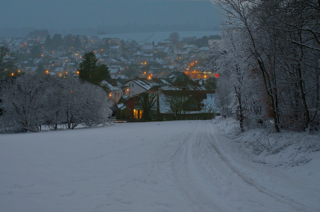
Farther east, regions of Saxony, Saxony-Anhalt and the Thuringian Forest also appeared dusted with snow — giving roads, trees and rooftops a powdered look typical for late autumn.
In the Harz region, winter conditions coincided with the start of the Christmas tree harvest, particularly around Ballenstedt in Saxony-Anhalt.
What to expect: weather outlook for Tuesday
Meteorologists predict a mixed day on Tuesday.
North of the line stretching roughly from the Eifel to Niederlausitz, widespread cloud cover and intermittent rain are expected. At altitudes above 400 to 600 metres, these showers may again turn into snow.
In contrast, southern Germany may see brighter conditions with longer sunny intervals and mostly dry weather. Daytime temperatures will range from 1 to 5 degrees in the southeast and upland regions, and between 4 and 8 degrees elsewhere.
Winds in the northern half will come from the southwest to west, occasionally strengthening near the coasts. The south is expected to remain relatively calm with light winds.
Midweek brings more snow and icy conditions
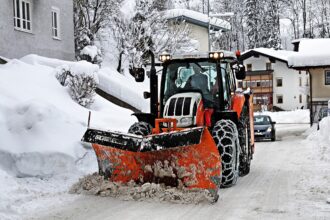
Winter’s grip is not expected to loosen. On Wednesday, weather specialists anticipate further snowfall above 300 to 500 metres accompanied by an increased risk of icy roads.
With ground temperatures remaining near or below freezing in many places, motorists are advised to prepare for slick surfaces and potentially challenging travel conditions.
The early winter pattern suggests that “Snow-vember” may be here to stay — at least for now.